Crop Monitoring Across the Iowa Corn Belt
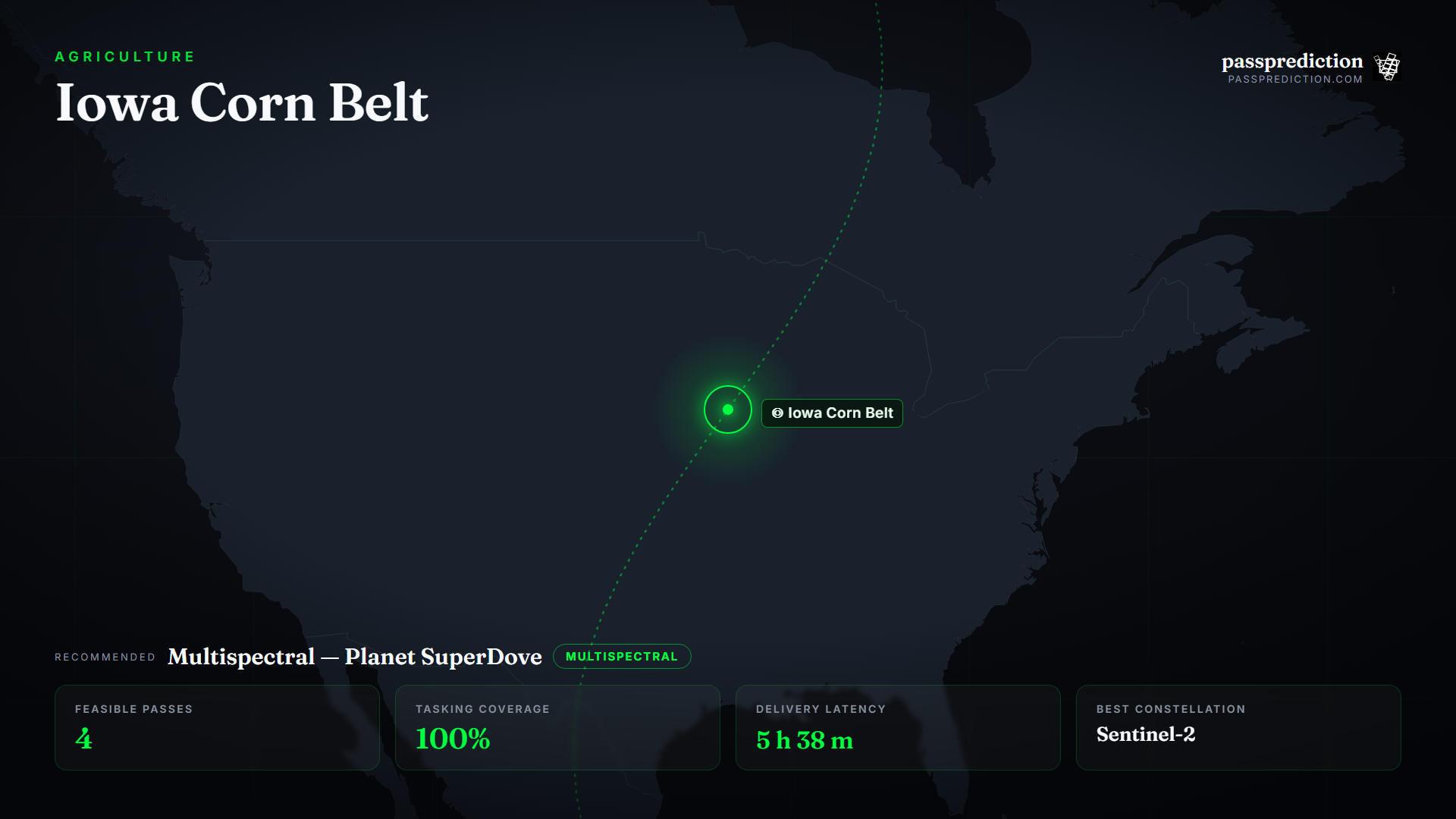
The Iowa Corn Belt is the heart of US maize and soy production, where growers, agronomists, and crop insurers track vigour, stress, and yield across the whole season. A single image of a field tells you little; the value is in a regular cadence that reveals the crop-development curve, catches stress early, and supports end-of-season yield models over very large areas.
That is a high-revisit, multispectral problem, and Planet's SuperDove / PlanetScope fleet is built for exactly this cadence — near-daily, roughly 3 m, multispectral coverage. PassPrediction lets you draw a field or a whole county as your AOI, plan the in-season revisit, prioritise the clearest passes, and compare options — so you invest tasking budget where it produces an unbroken, decision-grade time series.
Define the AOI and the in-season cadence
Set the AOI to the farm, county, or region you manage and plan a recurring cadence rather than one-off passes — weekly to fortnightly revisit captures the crop-development curve and catches nitrogen, water, or pest stress while there is still time to act. Stacking a high-revisit multispectral fleet tightens the effective cadence and improves the odds of a clear scene at each step.
Time key acquisitions to phenological milestones — emergence, peak vegetative growth, senescence — so the series directly supports yield modelling and insurance assessment. PassPrediction shows the upcoming passes over your AOI so you can lock in the cadence and see which milestones are covered.
Why high-revisit multispectral wins here
Crop-health indices such as NDVI rely on the contrast between red and near-infrared reflectance, so calibrated multispectral bands are the baseline; red-edge and shortwave-infrared add sensitivity to chlorophyll content and crop-water stress. But over a region the size of the Corn Belt, revisit matters as much as bands — you need frequent, wide coverage to keep every field on the same cadence.
Planet's SuperDove fleet delivers exactly that: near-daily multispectral collection at a resolution that resolves field-scale variability while covering large areas. That combination — many satellites, wide swaths, daily opportunity — is what keeps the time series unbroken through the season, which no small VHR fleet can match over this footprint.
Turn feasibility into a plan
Run a pass search over the AOI for the growing season and check the cloud outlook for the upcoming passes so you prioritise the clearest overpasses rather than spending a slot on a scene that returns mostly cloud. Sort by coverage to confirm each pass sweeps the full region.
Use the latency estimate to know when each scene will be usable — in-season decisions have a shelf life — and where humid spells make optical unreliable, add a SAR pass to keep the series intact. The output is a ranked, neutral cadence plan you fulfil with the multispectral provider of your choice.
Recommended constellation
Multispectral high-revisit — Planet SuperDove / PlanetScope — over the Iowa Corn Belt Area of Interest.
- Multispectral (Red + NIR) — NDVI and core vegetation indices for crop vigour and stress across the season.
- High-revisit fleet (SuperDove) — Near-daily wide coverage that keeps every field on the same cadence over a large region.
- SAR (C-band) — Weather-independent backup in humid spells to keep the time series unbroken.
The mission, run over Iowa Corn Belt
Feasible passes
4 feasible passes over the AOI in 3-day.
| Best pass | Start (UTC) | Coverage | Off-nadir |
|---|---|---|---|
| FLOCK 4BE 18 | 2026-07-14T17:46:26.024722+00:00 | 100% | 4.426263312920288° |
Delivery latency
| Stage | Duration |
|---|---|
| Order ingest | 10 s |
| Uplink wait | 9 m |
| Execution | 2 h 23 m |
| Downlink wait | 2 h 54 m |
| Processing | 10 m |
| Delivery | 1 m |
| Total | 5 h 38 m |
Downlinked through North Pole (Fairbanks). Mid-latitude ground stations in the SSC and AWS Ground Station networks give frequent contacts with the sun-synchronous multispectral fleet, keeping in-season products fresh.
Constellation comparison
| # | Constellation | Score |
|---|---|---|
| 1 | Sentinel-2 | 1.00 |
| 2 | PlanetScope | 0.99 |
| 3 | SkySat | 0.00 |
Frequently asked questions
What sensor do I need for NDVI?
A calibrated multispectral sensor with red and near-infrared bands. Over a large region, a high-revisit fleet like Planet's SuperDove keeps every field on the same cadence.
How often should I task imagery in season?
Weekly to fortnightly captures the crop-development curve and catches stress early; a near-daily fleet plus cloud-aware prioritisation maintains it despite weather.
How do I avoid cloudy scenes?
Check the cloud forecast for upcoming passes and prioritise the clearest; in persistently humid spells, add SAR to keep the series unbroken.
Does PassPrediction sell the imagery?
No. PassPrediction does not sell imagery — it plans feasibility across all operators, then you order from the provider of your choice.
Plan a feasible acquisition
Draw your Area of Interest, set the window and look-angle limits, and PassPrediction ranks every feasible pass across all operators — neutrally, in your browser, free to start.
Open the planner →