Deforestation Watch Over Rondônia, Amazon
Rondônia sits on the Amazon's 'arc of deforestation,' where clearing advances along road networks and is routinely hidden by cloud and dry-season smoke. Enforcement agencies, carbon-project developers, and supply-chain monitors need to catch new clearing early — but the exact moments clearing accelerates are often the moments the forest is least visible to optical sensors.
The robust answer is a combined watch: wide-swath optical (Planet / Sentinel-2) tracks clearing when skies are clear, and SAR fills the persistent cloud and smoke gaps. PassPrediction lets you draw the monitoring area as your AOI, plan a recurring optical-plus-SAR cadence, prioritise the clearest optical passes, and compare operators — so the deforestation record stays unbroken through the wet season and the burning season alike.
Define the AOI and the monitoring cadence
Draw the AOI as the monitoring block — a municipality, a concession, or a protected-area buffer — because deforestation detection is a change problem across an area, and you want every wide pass whose swath covers it. Plan a recurring cadence rather than one-off passes so new clearing is caught in days, not after a season, and successive scenes stay comparable for change detection.
Time and sensor mix matter together here. In the clear season, frequent optical carries the watch; in the cloudy and smoky months, SAR keeps it alive. PassPrediction shows the upcoming passes over the AOI so you can lock a cadence that blends both and never leaves a long blind gap.
Why combined optical + SAR wins here
New clearing shows up clearly in wide-swath optical — Planet's frequent multispectral coverage and Sentinel-2's free 10 m bands make loss of canopy obvious when the sky is clear, at a cadence and cost that suit large-area monitoring. Optical is the natural primary sensor because interpreting land-cover change is a spectral problem.
But the Amazon is cloudy much of the year and smoke-filled in the burning season — exactly when clearing peaks — and that is where SAR is indispensable: radar sees through cloud and smoke to reveal structural forest loss regardless of weather. Neither sensor alone is reliable year-round here; the combined watch is what makes the record trustworthy, and PassPrediction plans both across operators at once.
Turn feasibility into a plan
Run a pass search over the monitoring block and check the cloud outlook for the upcoming optical passes so you prioritise the clearest and don't waste a slot on a cloud-filled scene. Sort by coverage so the wide passes that blanket the block rise to the top, and plan SAR passes to cover the periods optical cannot.
Add the latency estimate so alerts reach enforcement while intervention is still possible, and run the constellation comparison to blend free Sentinel coverage with taskable Planet and SAR options. The output is a ranked, neutral monitoring plan you fulfil with the providers of your choice.
Recommended constellation
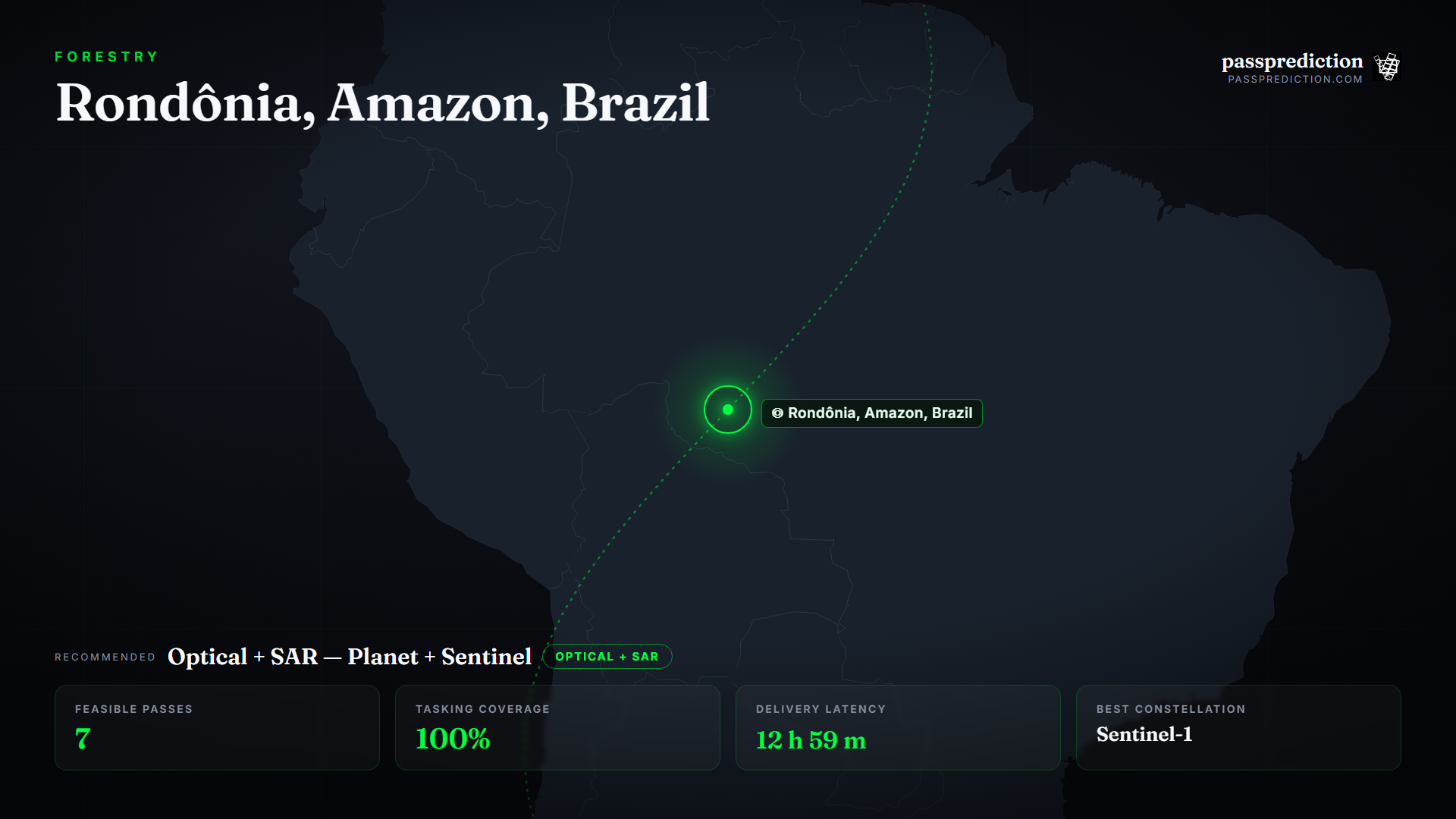
Optical + SAR — Planet + Sentinel — over the Rondônia, Amazon, Brazil Area of Interest.
- Wide-swath optical (Planet / Sentinel-2) — Frequent, large-area canopy-loss detection when skies are clear.
- SAR (C-band / X-band) — Sees through cloud and dry-season smoke to reveal structural forest loss year-round.
- Multispectral (Red + NIR) — Vegetation indices to distinguish clearing, degradation, and regrowth over time.
The mission, run over Rondônia, Amazon, Brazil
Feasible passes
7 feasible passes over the AOI in 3-day.
| Best pass | Start (UTC) | Coverage | Off-nadir |
|---|---|---|---|
| FLOCK 4BE 14 | 2026-07-15T15:09:12.600908+00:00 | 100% | 0.23416869747280164° |
Delivery latency
| Stage | Duration |
|---|---|
| Order ingest | 10 s |
| Uplink wait | 8 m |
| Execution | 11 h 32 m |
| Downlink wait | 1 h 7 m |
| Processing | 10 m |
| Delivery | 1 m |
| Total | 12 h 59 m |
Downlinked through KSAT TrollSat (Antarctica). Equatorial ground stations such as Singapore and Awarua give the sun-synchronous optical and SAR fleets frequent contacts over a low-latitude AOI, keeping deforestation alerts timely.
Constellation comparison
| # | Constellation | Score |
|---|---|---|
| 1 | Sentinel-1 | 1.00 |
| 2 | Sentinel-2 | 0.56 |
| 3 | PlanetScope | 0.43 |
Frequently asked questions
Why combine optical and SAR for deforestation?
Optical clearly shows canopy loss when skies are clear, but the Amazon is cloudy and smoky much of the year — exactly when clearing peaks. SAR sees through cloud and smoke, so the combined watch stays unbroken.
How often should I monitor for clearing?
On a recurring cadence so new clearing is caught in days and successive scenes stay comparable — blend frequent optical with SAR to cover the cloudy and burning seasons.
Can I mix free and commercial imagery?
Yes — Sentinel-2 and Sentinel-1 give a free baseline, and taskable Planet and commercial SAR tighten cadence. PassPrediction compares and sequences them across operators.
Does PassPrediction sell the imagery?
No. PassPrediction does not sell imagery — it plans feasibility across all operators, then you order from the provider of your choice.
Plan a feasible acquisition
Draw your Area of Interest, set the window and look-angle limits, and PassPrediction ranks every feasible pass across all operators — neutrally, in your browser, free to start.
Open the planner →