Catastrophe Claims After Hurricane Ian, Fort Myers
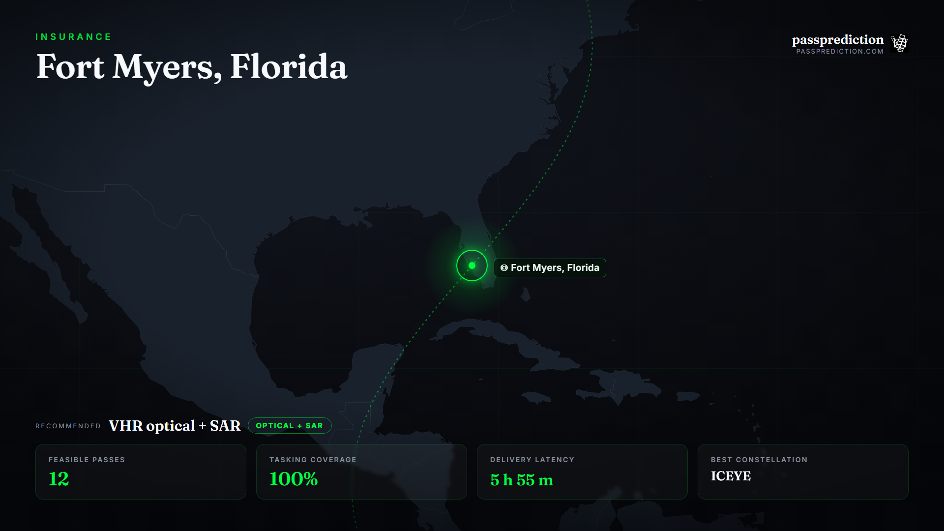
When Hurricane Ian made a Category-4 landfall near Fort Myers, Florida in September 2022, it caused roughly $112 billion in damage — and insurers needed building-level assessment fast, over a coast still under residual cloud. The hard part is not buying one image; it is planning which satellites can reach the affected area quickly, at a usable look angle, through weather, with a clean pre-event baseline.
The answer is VHR optical for post-event damage grading plus SAR to shoot through the residual cloud in the first hours. PassPrediction plans that acquisition neutrally: draw the impact zone, and it surfaces every optical and SAR pass across all operators in your window, ranks them by time-to-first-usable-image and coverage, and compares constellations so you order the fastest feasible mix for claims validation.
Define the AOI and the event window
Start from the footprint of the landfall, not a single point — a windstorm and its surge affect a whole coastal region, and you want every pass whose swath touches any part of it. Set a tight window: ideally one clean pre-event scene as a baseline plus the first feasible post-event passes, so damage can be measured against a known-good state and fraud detected by change.
For rapid claims, the metric that matters is time-to-first-usable-pass — the earliest overpass in geometry, not blocked by cloud, and within an acceptable look angle. Widening the satellite set to every operator and relaxing the off-nadir tolerance shortens that dramatically when the coast is still clouded.
Why VHR optical + SAR wins here
Roof-level damage grading, structural collapse, and claims-grade visual evidence read best in very-high-resolution optical, and WorldView Legion delivers 30 cm-class imagery with the capacity to revisit the impact zone quickly once skies clear. But hurricanes arrive with weather that grounds optical in the critical first hours — so SAR (ICEYE) is tasked alongside to penetrate residual cloud and map flood extent and structural damage immediately.
Tasking both and taking whichever is usable first is the pattern that gets adjusters actionable imagery fastest. PassPrediction compares them directly: rather than betting on one operator's next clear pass, you plan across the whole market and pick the fastest feasible acquisition, then grade damage in the optical scene as soon as it lands.
Turn feasibility into a plan
Run a pass search over the impact zone for the event window and sort by coverage and earliest time so the fastest, most complete passes surface first. Filter SAR without the daylight constraint and optical with it, and use the tasking view to confirm the swaths blanket the affected communities rather than clipping the coast.
Add the latency estimate to see when each pass's data could reach the claims desk, and run the constellation comparison to rank the optical and SAR options together on speed and capability. The output is a ranked, neutral acquisition plan you take to the provider of your choice.
Recommended constellation
VHR optical + SAR — WorldView Legion + ICEYE — over the Fort Myers, Florida Area of Interest.
- Optical VHR (≤0.5 m) — Roof-level damage grading, structural collapse, and claims-grade visual evidence once skies clear.
- SAR (X-band) — All-weather, day-or-night flood and damage mapping through residual cloud in the first hours.
- Pre-event VHR baseline — A clean before-scene so post-event imagery can be differenced for damage and fraud detection.
The mission, run over Fort Myers, Florida
Feasible passes
12 feasible passes over the AOI in 3-day.
| Best pass | Start (UTC) | Coverage | Off-nadir |
|---|---|---|---|
| WorldView Legion 3 | 2026-07-15T11:44:12.781090+00:00 | 1.1% | 0.3530707011212271° |
Delivery latency
| Stage | Duration |
|---|---|
| Order ingest | 10 s |
| Uplink wait | 43 m |
| Execution | 1 h 20 m |
| Downlink wait | 3 h 39 m |
| Processing | 10 m |
| Delivery | 1 m |
| Total | 5 h 55 m |
Downlinked through KSAT TrollSat (Antarctica). Downlinking through the AWS Ground Station and KSAT antennas nearest the hazard coast keeps post-event scenes on the ground while they still drive first-response claims decisions.
Constellation comparison
| # | Constellation | Score |
|---|---|---|
| 1 | ICEYE | 1.00 |
| 2 | WorldView Legion | 0.48 |
| 3 | WorldView | 0.21 |
Frequently asked questions
How fast can I get a post-hurricane image?
It depends on how many satellites you task and your look-angle tolerance. A wide optical + SAR set with a generous off-nadir often yields a usable pass within hours; a single sensor over a clouded coast can take days.
Why task SAR for a hurricane claim?
Hurricanes arrive with weather that grounds optical. SAR penetrates cloud and works at night, so it captures flood and structural damage during the critical first hours.
Do I need a pre-event baseline image?
For change-based damage grading and fraud detection, yes — plan one clean pre-event scene so post-event imagery can be differenced against a known-good state.
Does PassPrediction sell the imagery?
No. PassPrediction does not sell imagery — it plans feasibility across all operators, then you order from the provider of your choice.
Plan a feasible acquisition
Draw your Area of Interest, set the window and look-angle limits, and PassPrediction ranks every feasible pass across all operators — neutrally, in your browser, free to start.
Open the planner →