Nighttime Urban Monitoring Over Cairo
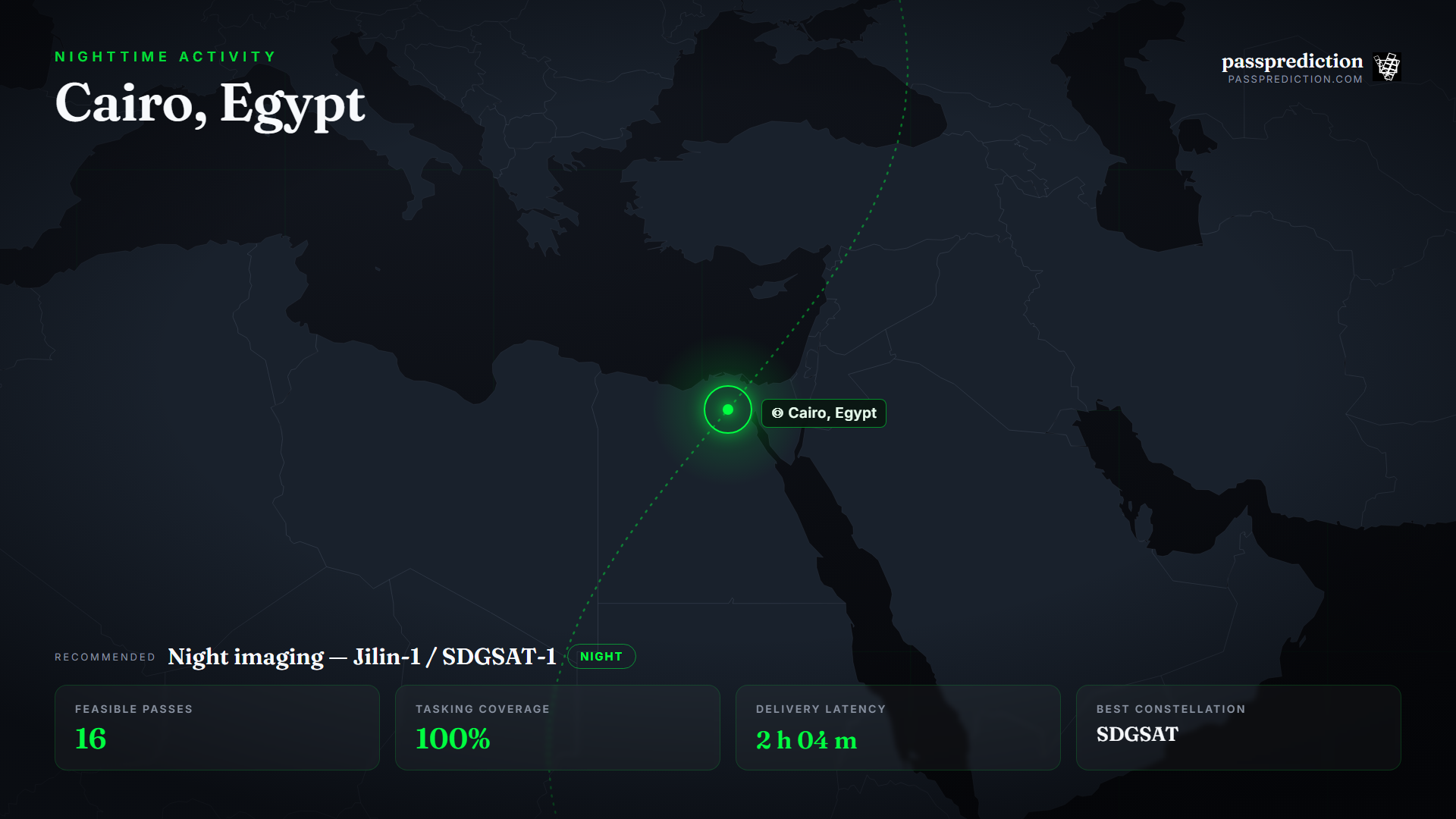
Cairo is a metropolis of roughly 22 million people whose nighttime light footprint tells a story that daytime imagery cannot: where the city is growing, where the electricity grid has dropped out, and how informal settlements are expanding at the edges. Standard optical sensors see essentially nothing after dark, so this is a specialist tasking problem.
Low-light 'night' imagers are the tool — Jilin-1 night-capable birds and SDGSAT-1 capture the pattern of city lights directly. PassPrediction lets you draw the metro as your AOI, find the night-imaging passes that cross it in your window, and rank them by coverage and delivery time, then compare options so you order from the operator whose night payload actually fits your area and cadence.
Define the metro AOI and the night window
Draw the AOI as the built-up extent of greater Cairo — nighttime analytics are about the whole light footprint, its growth at the fringes, and dark patches where the grid has failed, so you want every pass whose swath covers the metro. Because the signal is the lights themselves, the observation window is inherently nighttime; PassPrediction lets you constrain passes to the local night so only the acquisitions that actually see the lights are kept.
For change over time — settlement expansion, month-on-month grid reliability — plan a recurring cadence rather than a one-off. A consistent night revisit makes successive scenes comparable, so a growing bright edge or a recurring dark district reads as a trend, not noise.
Why night imaging wins here
The whole point is to observe after dark, and only sensors tuned for low-light conditions register useful signal then. Jilin-1's night-capable satellites and SDGSAT-1's low-light payload are designed to image city lights at high enough resolution to distinguish districts, arterial roads, and the leading edge of unlit informal growth — detail that coarse global night-lights products cannot resolve.
This is a case where sensor choice is non-negotiable: a standard daylight optical satellite tasked over Cairo at night returns a black frame. PassPrediction surfaces the specialist night-imaging passes specifically, so you plan against the sensors that can actually deliver the observation rather than discovering the mismatch after ordering.
Turn feasibility into a plan
Run a pass search over the metro constrained to the local night, and sort by coverage so the passes that blanket the city rise above those clipping its edge. The tasking step confirms how the night-imager swath lands across the built-up area and whether one pass covers it or several are needed.
Add the latency estimate to see when each night scene could be delivered, and compare the available night-imaging options on coverage and cadence. You leave with a ranked, neutral plan and place the order with the operator whose night payload best fits Cairo.
Recommended constellation
Night imaging — Jilin-1 night / SDGSAT-1 — over the Cairo, Egypt Area of Interest.
- Low-light night imager (Jilin-1 night) — Resolves city lights, arterial roads, and unlit settlement edges after dark.
- SDGSAT-1 low-light payload — Purpose-built nighttime radiometry for urban growth and grid-reliability analytics.
- Optical VHR (daylight companion) — Daytime context to interpret the night pattern — built-up extent and land use.
The mission, run over Cairo, Egypt
Feasible passes
16 feasible passes over the AOI in 3-day.
| Best pass | Start (UTC) | Coverage | Off-nadir |
|---|---|---|---|
| DP01 (03D35) | 2026-07-16T13:07:47.770517+00:00 | 38.9% | 2.775924095188533° |
Delivery latency
| Stage | Duration |
|---|---|
| Order ingest | 10 s |
| Uplink wait | 16 m |
| Execution | 35 m |
| Downlink wait | 1 h 1 m |
| Processing | 10 m |
| Delivery | 1 m |
| Total | 2 h 04 m |
Downlinked through KSAT TrollSat (Antarctica). Downlinking through the AWS Ground Station antenna nearest the metro keeps night-scene delivery latency low so grid-outage and growth products are timely.
Constellation comparison
| # | Constellation | Score |
|---|---|---|
| 1 | SDGSAT | 0.57 |
| 2 | Jilin-1 | 0.43 |
Frequently asked questions
Can normal satellites image a city at night?
No — standard daylight optical sensors return a black frame after dark. You need a low-light night imager such as Jilin-1's night birds or SDGSAT-1 to register city lights.
What can nighttime imagery reveal?
Urban growth at the fringes, grid outages as dark patches, and informal-settlement expansion — patterns that show up in the light footprint but not in daytime scenes.
How often should I task night imagery?
On a recurring cadence, so successive night scenes are comparable and a growing bright edge or recurring dark district reads as a trend rather than noise.
Does PassPrediction sell the imagery?
No. PassPrediction does not sell imagery — it plans feasibility across all operators, then you order from the provider of your choice.
Plan a feasible acquisition
Draw your Area of Interest, set the window and look-angle limits, and PassPrediction ranks every feasible pass across all operators — neutrally, in your browser, free to start.
Open the planner →