AOI Draw & Import
Define your area of interest by drawing, country pick, quick-square or uploading a file — then edit, and it auto-saves.
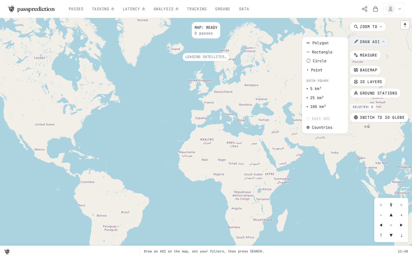
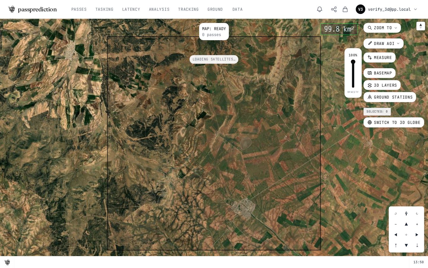
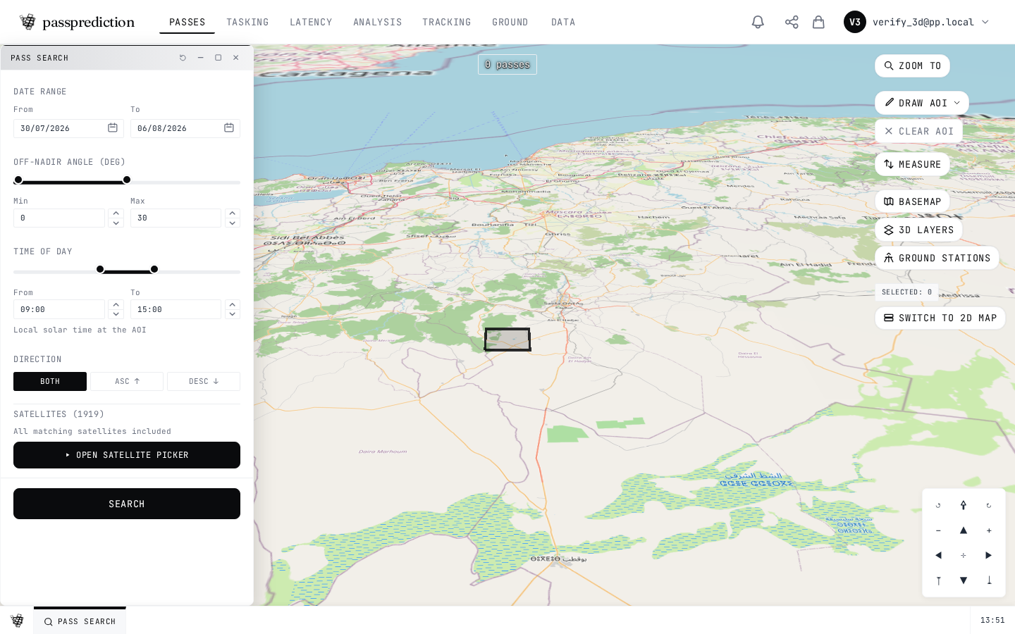
Step by step
- 1Open Draw AOI and pick polygon, rectangle or circle.
- 2Click the map to place vertices; double-click to close.
- 3Or import a KML, KMZ, GeoJSON or Shapefile ZIP.
- 4Drag the corner handles to edit the shape.
- 5The AOI saves automatically and becomes active.
Frequently asked questions
How do I define my Area of Interest (AOI) on the map?
Use the DRAW AOI dropdown in the top-right toolbar to draw a polygon, rectangle, or circle, or use a quick-square (5 / 25 / 100 km²) by clicking on the map. You can also pick a country from the COUNTRIES menu, or import a file (KML / KMZ / GeoJSON / Shapefile-ZIP) via the IMPORT AOI button or by dragging it onto the map. Every AOI auto-saves — no save dialog — and only one AOI is active at a time. Edit an existing AOI from the EDIT AOI entry inside the DRAW AOI menu.
How do I load my results into QGIS or ArcGIS?
Two ways. Install the PassPrediction QGIS plugin (download the ZIP, then QGIS → Plugins → Install from ZIP, connect with your API key) to run pass search, tasking, and coverage over the current map extent with results added as vector layers. Alternatively, load saved AOI footprints via standard OGC WMS/WMTS services (no plugin) using your account credentials — see the QGIS/ArcGIS integration docs.
Related help
Try it now on the interactive map, learn the underlying concepts in the glossary, or see all help topics.