Pass Search
Find every satellite overpass of your area, with footprint geometry and timing.
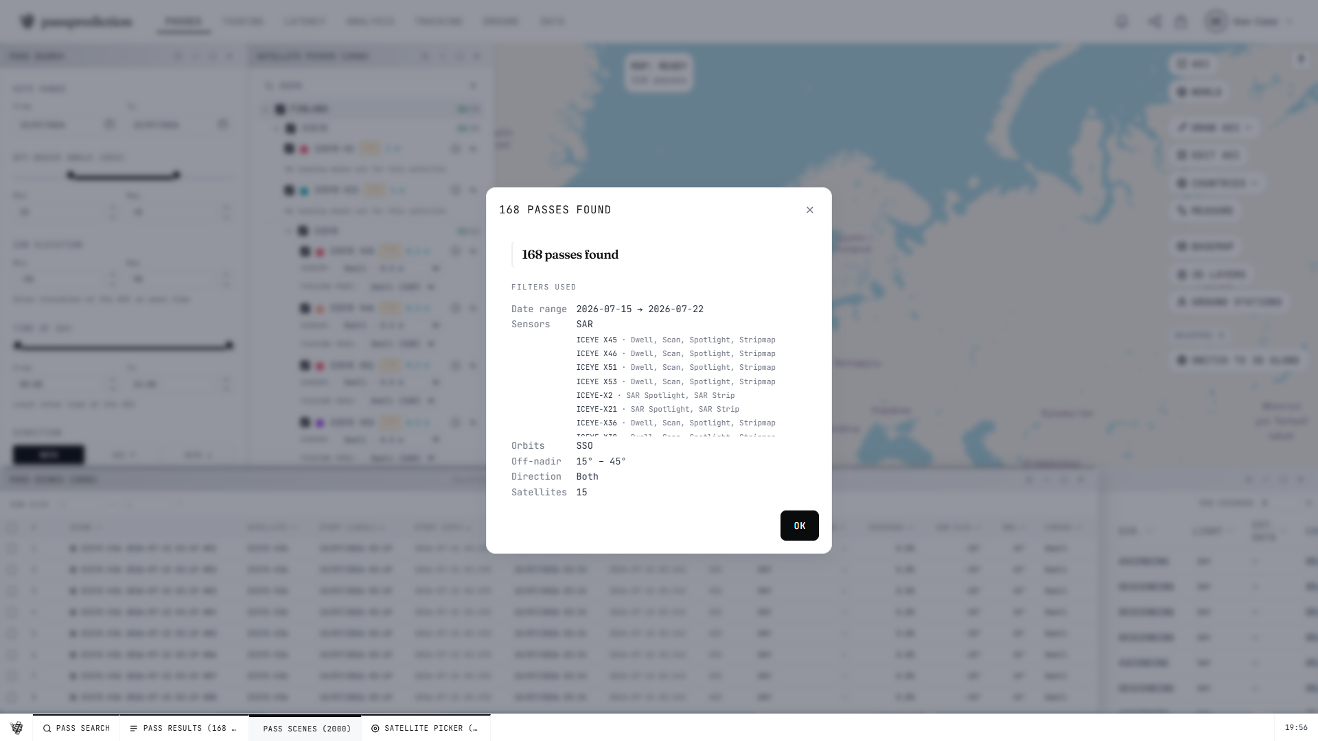
Step by step
- 1Draw, country-pick, or upload an AOI (KML/KMZ/GeoJSON/Shapefile) — it auto-saves.
- 2Open the Satellites picker and select the EO satellites or constellations to search.
- 3Set filters: date range, min elevation, sensor type, and off-nadir (ONA) limits.
- 4Click SEARCH to run the pass detection over your AOI.
- 5Open the results drawer to inspect each pass, its footprint, and timing on the map.
Frequently asked questions
What is the basic workflow to find satellite passes over my area?
Three steps: (1) define an AOI on the map, (2) open the Satellites picker and select the EO satellites or constellations you care about, and (3) open Pass Search, set your filters, and click RUN. Results appear as passes with footprint geometry over your AOI in the results drawer. From any pass row you can jump straight into Tasking, Latency, or Weather for that pass.
How do I filter passes by off-nadir angle (ONA)?
In the Pass Search filter panel set the minimum and maximum ONA (off-nadir angle). Only passes whose look angle falls inside that range are returned. Note: for SAR satellites keep the minimum ONA at 0 — a SAR minimum ONA above 0 can silently zero out your results. ONA-based lateral shift to reach a pass is applied in the Tasking tool, not in plain Pass Search.
Why did my pass search return no results?
Most often the filters are too tight: widen the ONA range (and set min ONA to 0 for SAR), extend the date/time window, or add more satellites in the picker. Confirm an AOI is active and that the selected satellites have fresh TLEs — decayed or stale satellites are dropped from search. If you set a SAR minimum ONA above 0, reset it to 0, which is a known cause of empty results.
What do swath and footprint mean in the pass results?
The swath is the ground width a sensor images as the satellite passes; the footprint is the actual polygon on the ground covered during a given pass, shown over your AOI on the map. Each result renders per-camera footprint ribbons tinted by satellite color. A wider swath or a steeper ONA changes how much of your AOI a single pass covers.
How do I export my pass or scene results?
From the results drawer use the export action to download in CSV, GeoJSON, KML, GML, or PDF — scene tables include geometry and per-scene fields (GSD, sun elevation, ONA). Registered users get full-geometry exports; anonymous results are geometry-limited. There is also a weather Export CSV action for the forecast data.
How accurate are the predicted pass times?
Predictions are computed from publicly available orbital data (TLE) with the SGP4 model. Pass geometry — off-nadir angle, sun elevation, footprint — is representative, but the exact date and time of a pass depend on how current the TLE is and can drift, from minutes up to several days, for satellites with stale element sets or that are recently launched or actively manoeuvring (their public elements lag the operator's own ephemeris). Use the results for planning and confirm timing against the operator's ephemeris or schedule before committing to a tasking or acquisition window.
Related help
Try it now on the interactive map, learn the underlying concepts in the glossary, or see all help topics.