Live Tracking & 3D View
Watch live satellite positions and ground tracks on the 2D map, or switch to the 3D globe for sensor cones, time controls and pass animation.
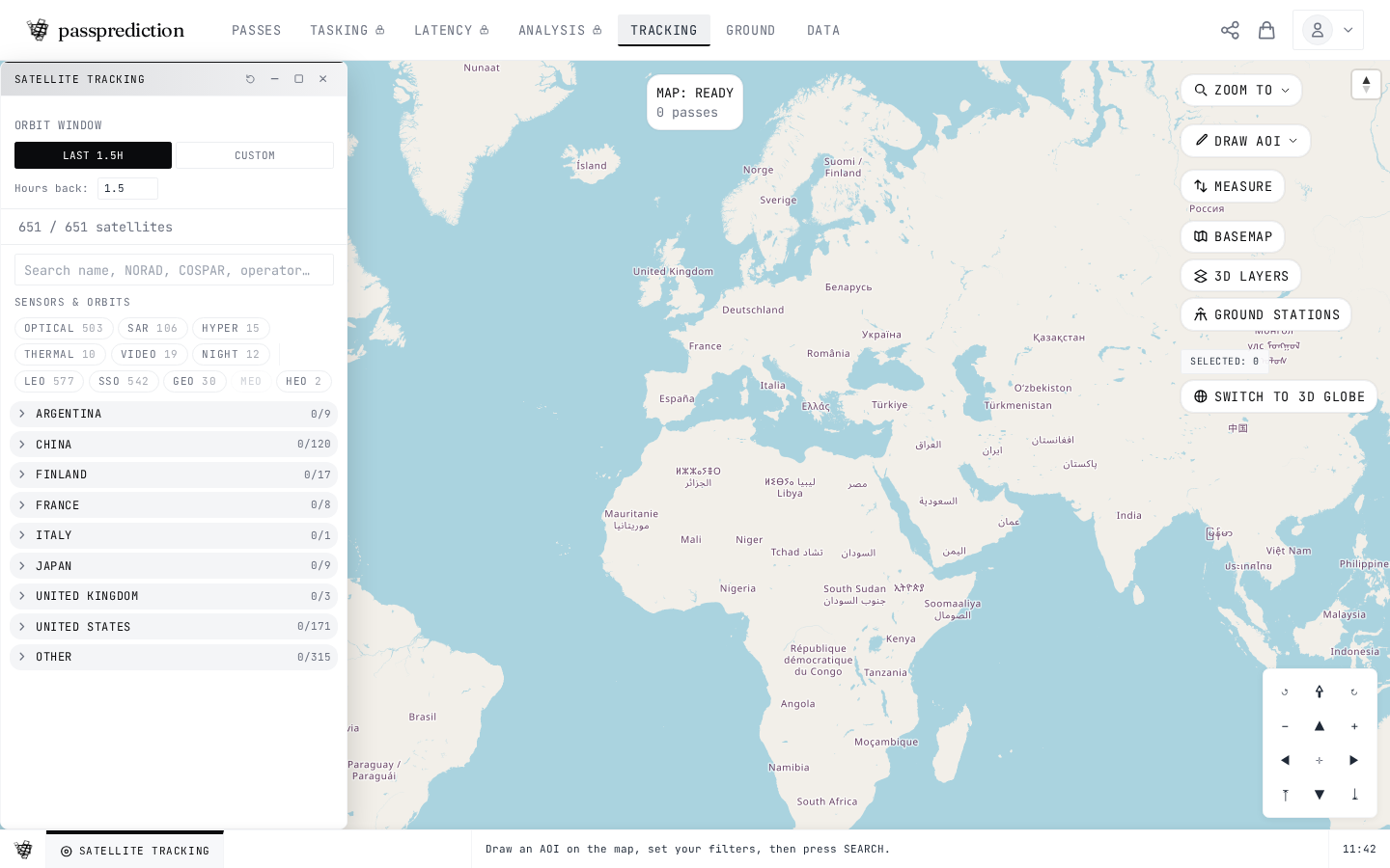
Step by step
- 1Live positions update on the map every 30 seconds.
- 2Hover a dot for name, altitude and lat/lon.
- 3Click a satellite to toggle its orbit ground track.
- 4Switch to 3D for the Cesium globe.
- 5Use the timeline to scrub and replay a pass.
Frequently asked questions
How do I switch between the 2D map and the 3D globe?
Use the 2D / 3D toggle in the right-side toolbar (or the brand launcher). The 3D globe is a Cesium view with sensor cones, time controls, pass animation, and ground stations, while the 2D MapLibre map is the default. Both views share the same pipeline, so your AOI, selected satellites, filters, and results carry over when you switch.
Related help
Try it now on the interactive map, learn the underlying concepts in the glossary, or see all help topics.